|
|
|
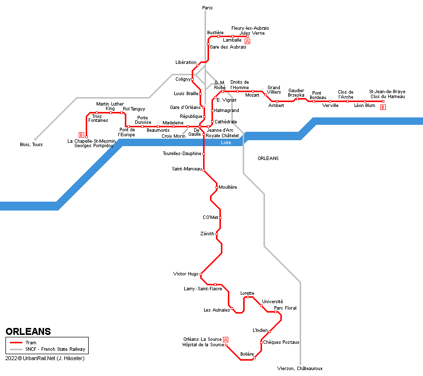
| ORLÉANS | |
|
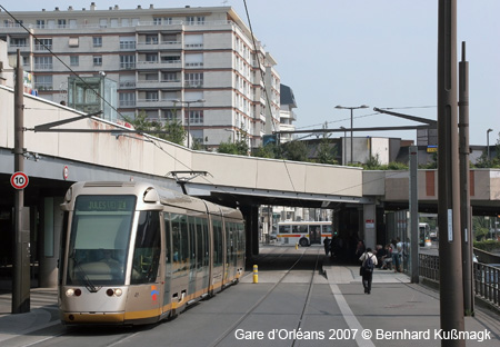
- approx. 120,000 inh. (285,000 inh. in metropolitan area) TRAMWAY - opened - network
length 29.2 km |
 |
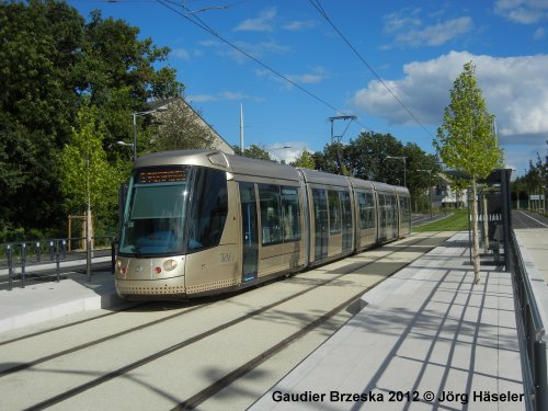
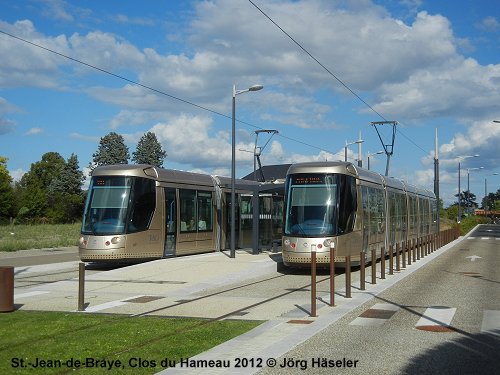
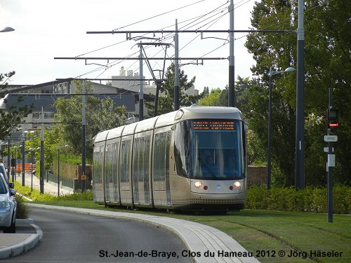
| Photos | |
 |
 |
 |
 |
 |
 |
 |
 |
| Official Website | |
|
|
|
| Other Links | |
|
Tramway d'Orléans at Wikipedia.fr
|
|
| Books | |
|
![]()
2010
© Robert Schwandl - UrbanRail.Net