[ UrbanRail.Net ]     [ Europe ] [ Americas ] [ Asia ] [ Africa ] [ Oceania ]     [ News ] [ Books ] [ Links ] [ Blog ] [ Shop ]

VALENCIENNES
 France

Valenciennes Tram Map

 System

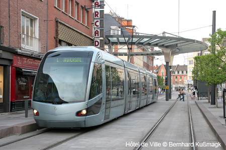
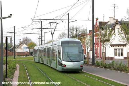
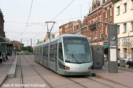
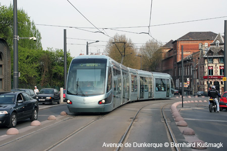
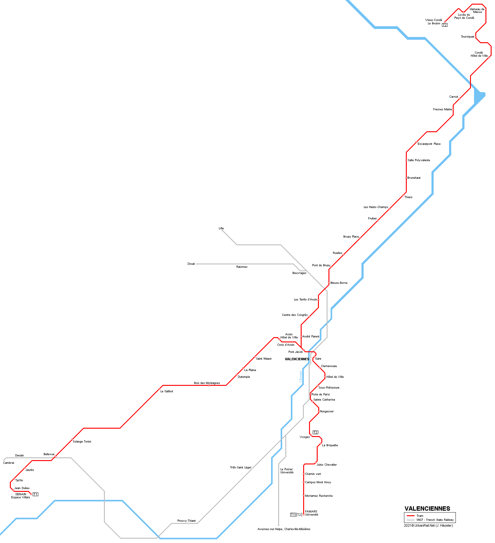
Valenciennes - approx. 43,000 inh. (350,000 inh. in metropolitan area)

TRAMWAY

- opened in 2006/07 (18.3 km)
- network length 33.8 km
- 2 lines
- rolling stock: 30 Citadis 302

24 Feb 2014: T2 Pont Jacob - Vieux-Condé Le Boulon (15 km)

Tram Atlas France - Frankreich
 Photos
   
 Official Website

Transvilles

Simouv Regional Transport Authority


 Other Links

Tramway de Valenciennes at Wikipedia.fr

Valenciennes Tram by Christoph Groneck


 Books

Tram Atlas France - FrankreichNEW: Tram Atlas Frankreich | France (2nd edition, 2022)

This revised edition of our bilingual (German/English) and illustrated atlas includes all tramway and trolleybus cities in France, plus all the Métro and VAL systems. Each city features a detailled system map, some with an enlarged city centre area, showing all stops, loops, single-track section, depots etc. Short texts provide information about special features, while details about history and operation are presented in tables. All current vehicles are depicted in one of the numerous colour photographs.

Angers, Aubagne, Avignon, Besançon, Bordeaux, Brest, Caen, Clermont-Ferrand, Dijon, Grenoble, Le Havre, Le Mans, Lille, Lyon, Marseille, Montpellier, Mulhouse, Nancy, Nantes, Nice, Orléans, Paris, Reims, Rouen, Saint-Étienne, Strasbourg, Toulouse, Tours, Valenciennes

160 pages, 17x24 cm, approx. 300 colour images, network maps, text Deutsch/English
Feb. 2022 - ISBN 978 3 936573 66 4, EUR 19.50

More info here!


2010 © Robert Schwandl - UrbanRail.Net

Email