[ UrbanRail.Net ] [ Europe ] [ Americas ] [ Asia ] [ Africa ] [ Oceania ] [ News ] [ Books ] [ Links ] |
ROTTERDAM
|
Netherlands |
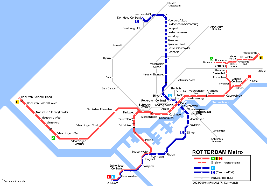
Click on map to expand to full size incl. Rotterdam & The Hague Tram and RandstadRail
System | ||||
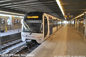
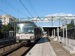
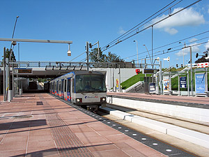
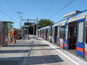
The Rotterdam metropolitan area has about 1.1 mill. inhabitants and, although located about 40 km inland, it is the largest sea port in Europe. The current metro system comprises five lines, including lines A and B with sections operated in light-rail (sneltram) mode (i.e. with overhead power supply and some level crossings). The two original lines were referred to as the Noord-Zuid-Lijn and the Oost-West-Lijn, until in the late 1990's Rotterdam's people decided to name them after two of the city's most famous sons, the humanist and philosopher Erasmus of Rotterdam, and Pieter Caland (1827-1902), the father of the Rotterdam waterway. But from 13 Dec 2009, the names Erasmuslijn and Calandlijn have been replaced by the line letters A-E.
|
||||
|
Lijn A | Lijn B | Lijn C | Spijkenisse De Akkers | Vlaardingen West | Hoek van Holland Strand Capelle a/d IJssel | Ommoord | Nesselande, 64.5 km (6.1 km shared with line D) |
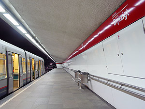
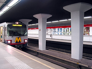
In Dec. 2009, the former Calandlijn became lines A, B and C. Until November 2002, all Calandlijn (east-west line) trains had their western terminus at Marconiplein, in the west of Rotterdam. The route runs underground and parallel to the river towards the city centre, where interchange to the Erasmuslijn is provided at Beurs (formerly Churchillplein). At Blaak, an underground station was also built for NS local trains to Dordrecht. The east-west tunnel terminates at the western end of Kralingse Zoom station, from where trains continue eastwards on the surface.
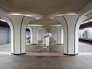
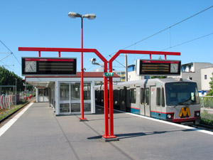
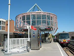
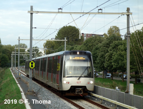
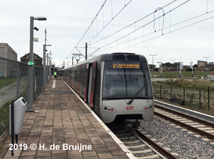
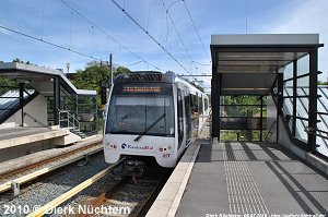
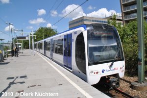
Leaving Capelsebrug, trains heading for 'Ommoord' or 'Nesselande' lift up their pantograph while the train is in motion to switch to Sneltram mode, whereas those going to 'Capelle a/d IJssel' continue with third rail power supply. The 8.4 km Sneltram section is totally segregated from other traffic, mostly fenced with hedges, but with several level crossings. All three eastern branches of the Calandlijn operate every 10 minutes, which allows a 3-4 minute interval along the main section. The northeastern branch, which initially terminated at De Tochten (showing 'Zevenkamp' on the destination sign), was extended mainly on a viaduct to Nesselande (1.5 km) in August 2005,. This section has no level crossings and instead of using an overhead catenary the trains switch back to third rail power supply.
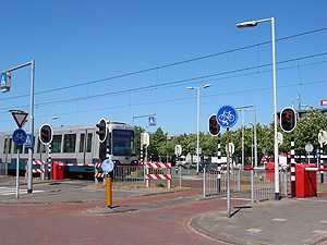
A 12 km extension of the Calandlijn line towards the west (partly underground through Schiedam) and then under the river Nieuwe Maas (Benelux-Tunnel) to meet the north-south line at Tussenwater opened on 4 November 2002. Although initially promoted as the Beneluxlijn, the line operates as an extension of the Calandlijn serving the Tussenwater - De Akkers section together with the Erasmuslijn. Calandlijn trains from Spijkenisse run through on the eastern branch to Capelle a/d IJssel.
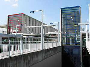
In
2017, the railway line from Schiedam to Hoek van Holland (23 km) was
handed over to RET to be converted to metro operation and linked to
the east-west metro line. Through service on line B, though with limited
service, eventually started in late Sept 2019. A 2 km single-track extension
to Hoek van Holland Strand (including a new station at Hoek van Holland
Haven) was completed in March 2023.
|
||||
Lijn D | Rotterdam Centraal Spijkenisse De Akkers, 21.4 km | |||
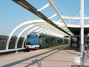
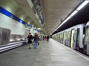
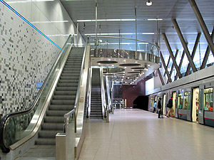
Until Dec. 2009 known as the Erasmuslijn (north-south line), line D starts underground at Rotterdam's Centraal Station, then turns south under Coolsingel, one of the city's main streets. At the southern end of Beurs station, easy transfer is provided to the Calandlijn via only one escalator. The line crosses under the Nieuwe Maas River very near the Erasmus Bridge and comes to the surface just after Wilhelminaplein from where it runs through southern Rotterdam and along the harbour on a viaduct to Zuidplein and Slinge, where about every other train terminates. From Slinge, the line continues southwest partly at grade and partly on a viaduct through less densely populated areas to the suburbs of Rhoon, Poortugaal and Hoogvliet, and after crossing under the Oude Maas River (old Meuse) it reaches Spijkenisse, where it continues on a viaduct to the southern part of this town. The southern stretch of the line is shared by the Calandlijn. In 1997 a new station was added at Wilhelminaplein between Leuvehaven and Rijnhaven to serve new city developments in Rotterdam's docklands. This is certainly the most appealing station of the whole network and apart from its great architecture it also has a distinguishing feature: the platforms are inclined as the line goes down into the tunnel under the river Maas.
|
||||
Lijn E | Rotterdam Centraal Den Haag Centraal, 24 km* | |||
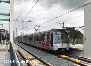
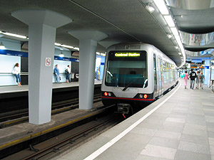
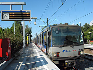
The former NS Hofpleinlijn between Rotterdam and Den Haag that departed from the Hofplein station in Rotterdam was converted from heavy rail to metro operation in 2006. In 2010, the new line was finally connected to the Rotterdam north-south metro line D at Rotterdam Centraal; through operation to Slinge finally started on 11 Dec 2011. From line D's terminus at Centraal Station, a 3 km tunnel was built towards the north to link up with the existing rail line. On this tunnel section there is one new underground station called Blijdorp. In Den Haag, line E trains from Rotterdam terminate on the lower level of the Den Haag Centraal Station. Stations on this line have 100 cm high platforms. On the interurban section of RandstadRail are several level crossings. In Nov. 2006, RET began operating RandstadRail between Rotterdam Hofplein and Den Haag CS, with trains every 15 minutes. The maximum operation speed is 100 km/h, the power supply on the Hofpleinlijn was changed from 1500 V dc to 750 V dc. *Between Leidschenveen and Laan van Noi (5 km), metro and Den Haag's light rail lines 3 & 4 share tracks. Platforms at these stations have both 30 cm and 90 cm high sections.
|
||||
History | ||||
(Erasmuslijn) 09 Feb
1968: [D] Centraal Station - Zuidplein RandstadRail
(Erasmuslijn) (Calandlijn) 10 May
1982: [A][B] Coolhaven - Capelsebrug |
||||
Links | ||||
Metropoolregio Rotterdam Den Haag Rotterdam Metro at Wikipedia and Wikipedia.nl Rotterdam Metro Pictures at railfaneurope.net Rotterdam Tram at UrbanRail.Net TRAMS 2023 - Dutch Yearbook about trams in Europe
|
||||
Books | ||||
Robert Schwandl: Belgium - Netherlands - Luxembourg - R. Schwandl Verlag, 02/2020, ISBN 978-3936573596 |
||||
Videos | ||||
Cab ride on Line C from De Akkers to De Terp (other lines available here!): | ||||
Cab ride through the tunnel from Rotterdam Centraal to Melanchthonweg which opened on 17 Aug 2010: | ||||
2004 © UrbanRail.Net by Robert Schwandl.