Click on map to expand to full size!
Tokyo Metro Lines | TOEI Lines | Tokyo Waterfront transit | Tram & Light Rail | Other Rapid Transit in Tokyo | Tokyo Subway Gallery | Links
|
[ UrbanRail.Net ] [ Europe ] [ Americas ] [ Asia ] [ Africa ] [ Oceania ] [ News ] [ Books ] [ Links ] |
| Japan |
Click on map to expand to full size!
Tokyo Metro Lines | TOEI Lines | Tokyo Waterfront transit | Tram & Light Rail | Other Rapid Transit in Tokyo | Tokyo Subway Gallery | Links
|
System
and History
|
||||
|
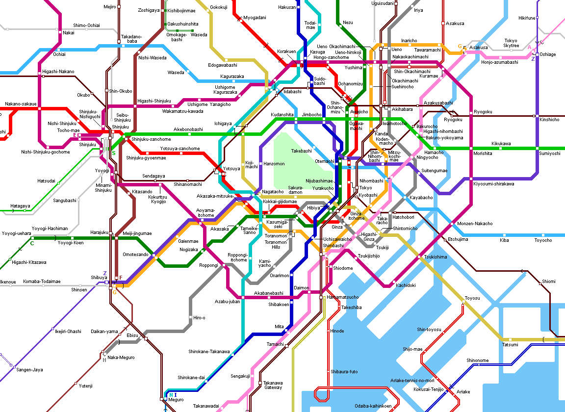
The Tokyo Subway system consists of 13 lines, which are operated by two different companies: Tokyo Metro Corporation (formerly TEITO; also called TRTA or Eidan Subway - Teito Rapid Transit Authority) and TOEI (Transportation Bureau of Tokyo Metropolitan Government). The first lines were built using international standard gauge (1435 mm) but later 1067 mm gauge was chosen, which is more common in Japan and thus allows reciprocal operation between subways and suburban railway lines, i.e. subway trains continue on suburban lines at certain hours or suburban lines use certain sections of the subway lines. Several JR and private suburban rail lines radiate from different stations in Tokyo. |
||||
|
TOKYO
METRO Lines
- Eidan Subway
|
||||
| 6/2008 - 9 lines with a total length 195.4 km | ||||
| GINZA Line (G) | ||||
| 14.3
km, 18 stations, Asakusa - Shibuya (Line 3); 1435 mm gauge; no
reciprocal service.
The first subway line in Tokyo, opened in 1927 as a private railway between Asakusa and Ueno (2.2 km), extended to Shibuya by 1939. 30
Dec 1927: Asakusa - Ueno (2.2 km) |
||||
| MARUNOUCHI Line (M) | ||||
|
27.4
km, 27 stations, Ikebukuro - Ogikubo / Honancho (Line 4); 1435
mm gauge; no reciprocal service, four short surface sections.
20
Jan 1954: Ikebukuro - Ochanomizu (6.4 km)
|
||||
| HIBIYA Line (H) | ||||
|
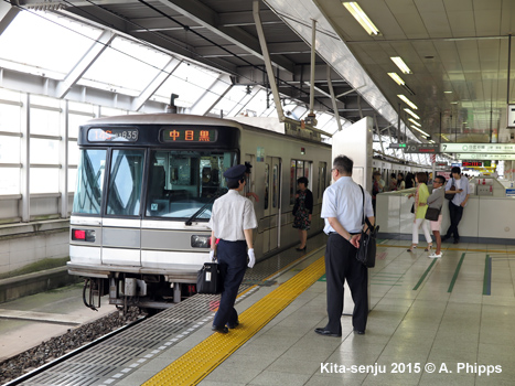
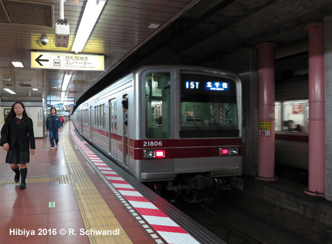
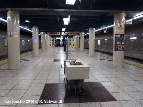
20.3 km, 22 stations, Kita-Senju - Naka-Meguro (Line 2); 1067 mm gauge; reciprocal service on northern suburban line (Tobu-Isezaki Line), while reciprocal service south on Tokyu Toyoko Line was discontinued on 15 March 2013. 28
March 1961: Minami-Senju - Nakaokachimachi (3.7 km)
|
||||
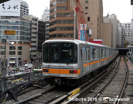
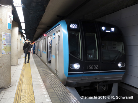
| TOZAI Line (T) | ||||
|
30.8
km, 22 stations, Nishi-Funabashi - Nakano (Line 5); 1067
mm gauge; at the western end, reciprocal service with JR Chuo Main Line;
at the eastern end with JR Sobu Line and the Toyo Rapid Railway. The
Tozai Line (which means East-West Line) runs on the surface east of
Minami-sunamachi (13.8 km).
23
Dec 1964: Takadanobaba - Waseda (1.7 km)
|
||||
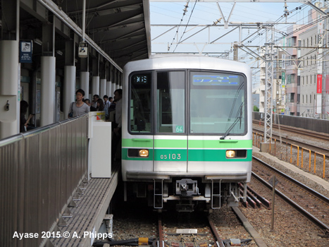
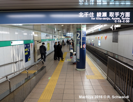
| CHIYODA Line (C) | ||||
| 24.0
km, 20 stations, Yoyogiuehara - Kita-Ayase (Line 9); 1067 mm gauge;
at the western end, reciprocal service with Odakyu Odawara Line; at the
eastern end with JR Joban Line.
20
Dec 1969: Otemachi - Kita-Senju (9.9 km)
|
||||
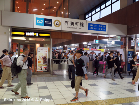
| YURAKUCHO Line (Y) | ||||
|
28.3 km, 24 stations, Wakoshi - Shin-Kiba (Line
8); 1067 mm gauge; from
Wakoshi reciprocal
service on Tobu Tojo Line; reciprocal service
is also available from Kotake-mukaihara
along the Seibu Ikebukuro Line.
Opened 1974 - 1988; in Dec. 1994, the Kotakemukaihara - Ikebukuro section was quadrupled, with the Yurakucho New Line introduced to relieve the Yurakucho Line. This line was extended south to Shibuya in 2008 and became the Fukutoshin Line. 30
Oct 1974 : Ginzaitchome - Ikebukuro (10.2 km) |
||||
| HANZOMON Line (Z) | ||||
|
16.9 km, 14 stations, Shibuya - Oshiage (Line 11); 1067 mm gauge; reciprocal operation with the Tokyu Den-en-toshi Line from Shibuya and with the Tobu Isesaki Line from Oshiage. The Hanzomon Line runs parallel to Ginza line between Shibuya and Aoyama-I-chome, but on separate tracks. 01
Aug 1978: Shibuya - Aoyama-itchome (2.7 km)
|
||||
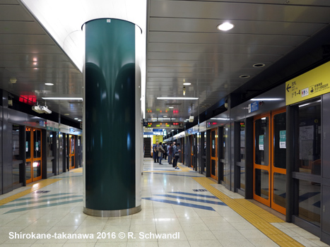
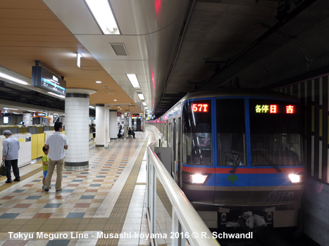
| NAMBOKU Line (N) | ||||
|
21.3 km, 19 stations, Meguro - Akabane-iwabuchi (Line 7); 1067 mm gauge. The
Namboku Line shares tracks with the Mita Line between Shirokane-takanawa
and Meguro, from where both lines provide reciprocal service
with the Tokyu Meguro Line. 29
Nov 1991 Akabane-Iwabuchi - Komagone (6.3 km) |
||||
| FUKUTOSHIN Line (F) | ||||
|
12.1
km, 11 stations (+ 5 stations share with Yurakucho Line), (Wakoshi
-) Kotake-mukaihara - Shibuya (Line 7); 1067
mm gauge.
In Dec. 1994, a 3.2 km double-track section of the Yurakucho New Line (Kotake-mukaihara - Ikebukuro) (New Yurakucho New Line Ikebukuro Station) was opened to relieve the Yurakucho Line. Initially referred to as Line 13, it was eventually extended south to Shibuya on 14 June 2008 as the Fukutoshin Line (fukutoshin means subcenter > the line links the three subcenters of Ikebukuro, Shinjuku and Shibuya). At the northern end, trains continue to Wakoshi on the Yurakucho Line, and beyond that point on the Tobu Tojo Line); reciprocal service is also available from Kotake-mukaihara on the Seibu Ikebukuro Line. Reciprocal service from Shibuya south on Tokyu Toyoko Line to Yokohama began on 16 March 2013. 07
Dec 1994: Kotakemukaihara - Ikebukuro (as Yurakucho New Line) (3.2 km)
|
||||
|
|
||||
|
TOEI
Lines
|
||||
| 12/2000 - 4 lines with a total length of 107 km + 2.3 km Mita Line extension to Meguro (shared with Namboku Line) | ||||
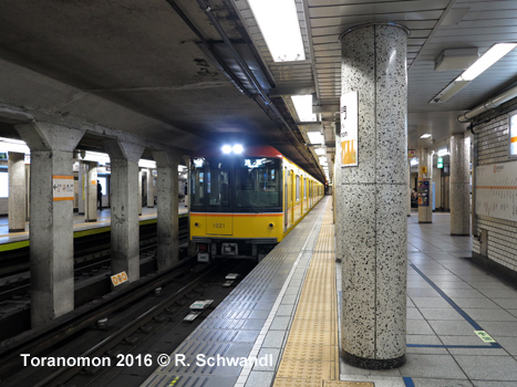
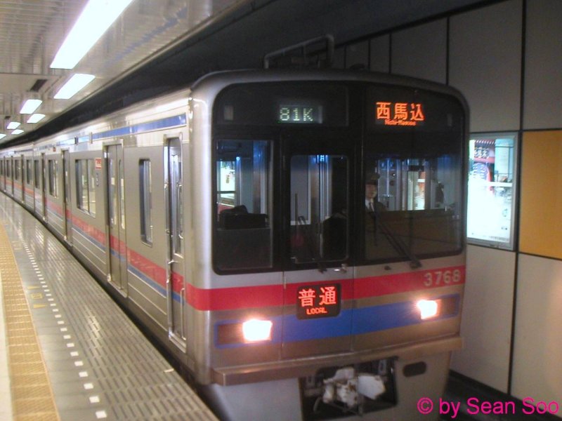
| ASAKUSA Line (A) | ||||
|
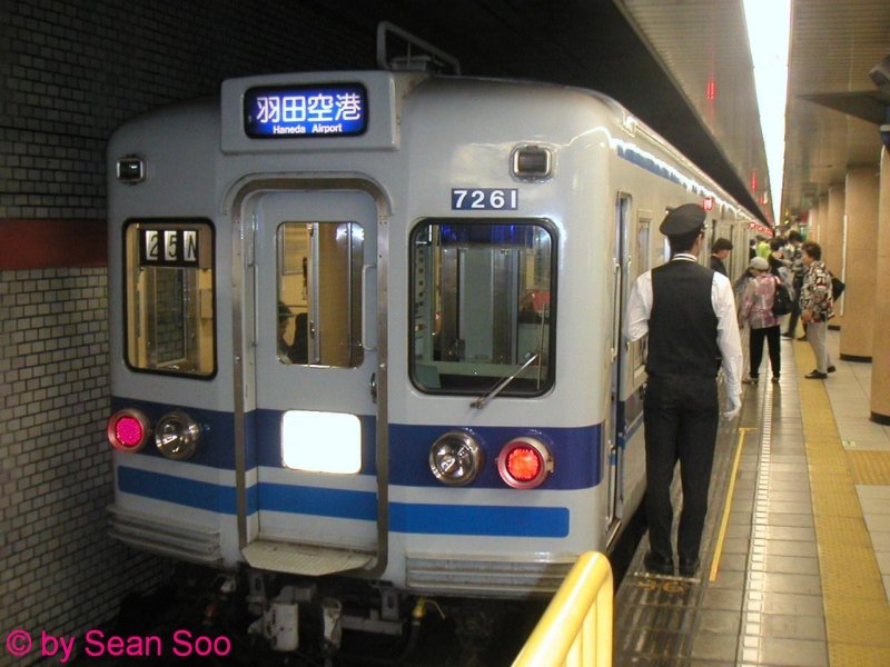
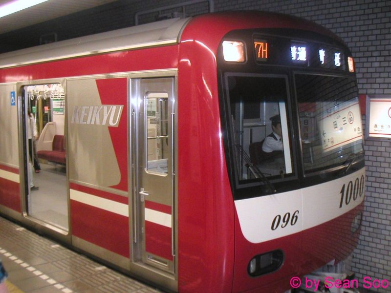
18.4 km, 20 stations, Oshiage - Nishi-Magome (Line 1); 1435 mm gauge; reciprocal operation on Keisei Oshiage Line, Keisei Main Line and Shibayama Railway Line from the northern terminus; and on Keikyu Main Line and Keikyu Kuko Line from Sengakuji. 04
Dec 1960: Oshiage - Asakusabashi (3.1 km)
|
||||
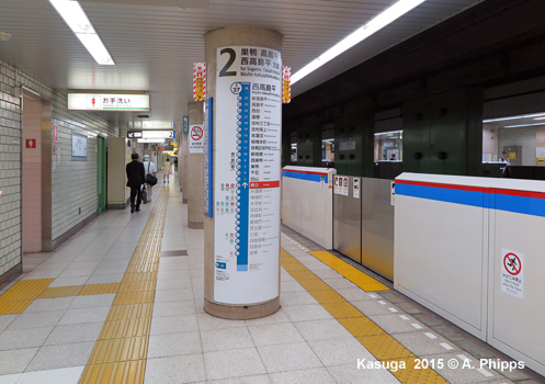
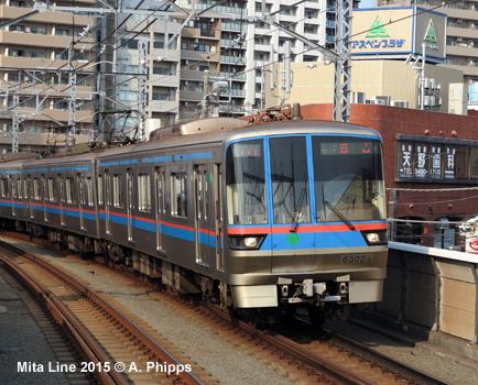
| MITA Line (I) | ||||
|
26.5 km, 24 stations, Meguro - Mita - Nishi-Takashimadaira; 1067
mm gauge; elevated north of Shimura-sakaue station.
The section between Shirokane-Takanawa and Meguro is shared with the Namboku Line, 2.3 km, opened 26/9/2000. Reciprocal service from Meguro with the Tokyu Meguro Line. 27 Dec 1968:
Takashimadaira - Sugamo (10.4 km) 26 Sept 2000: - Meguro (jointly with Namboku Line) (4 km incl. 1.7 km of separate Mita - Shirokane-Takanawa tracks)
|
||||
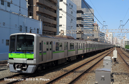
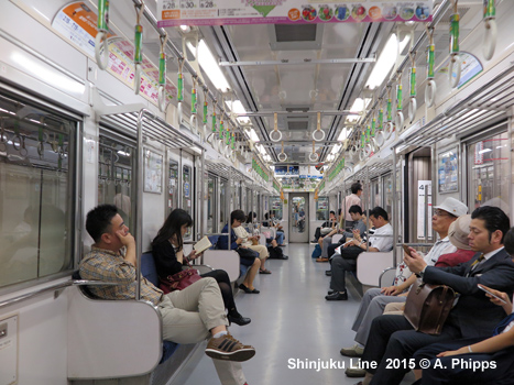
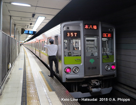
| SHINJUKU Line (S) | ||||
|
23.5km, 21 stations, Motoyawata - Shinjuku (Line 10); 1372 mm gauge; through trains from Shinjuku on Keio Line. 21
Dec 1978: Iwamotocho - Higashi-Ojima (4.9 km)
|
||||
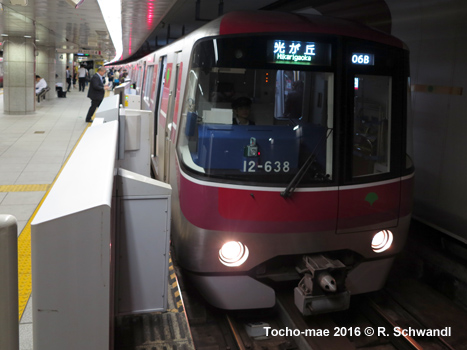
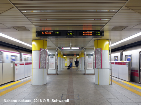
| OEDO Line (E) | ||||
|
40.7 km, 36 stations, Hikarigaoka - Tochomae (Line 12); 1435 mm gauge; no reciprocal service. Opened in 5 stages between 1991 and 2002, the Oedo Line is like a ring line with a handle, but trains cannot run in a circle, but reverse at Tocho-mae. O-Edo-sen means Big Edo Line and Edo was the city's name until 1868. 10
Dec 1991 Hikarigoaka - Nerima (3.8 km) |
||||
|
Tokyo Metro Lines | TOEI Lines | Tokyo Waterfront transit | Other Rapid Transit in Tokyo | Tokyo Subway Gallery | Links |
||||
|
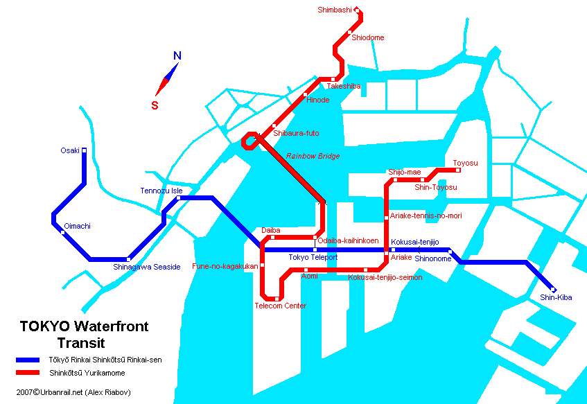
Rail Transit in Tokyo Waterfront Odaiba Development |
||||
|
Odaiba (otherwise named Daiba) is an artificial island in Tokyo Bay. Built on the place of 19th century line of fortified islands (Daiba in Japanese means "cannon batteries placed on the islands"), this island was supposed to be a futuristic self-consistent town for 100,000 inhabitants. In addition to two motorways joining the mainland Tokyo with the island, it is served by two rail transit systems (see map)
|
||||
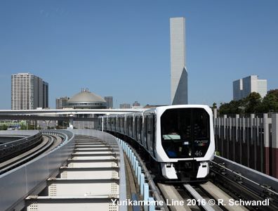
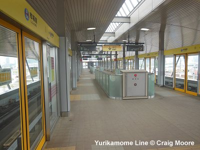
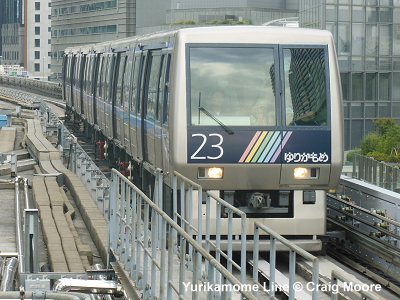
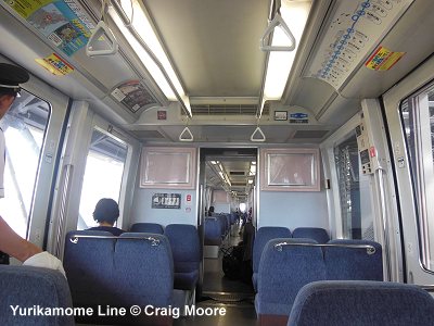
| YURIKAMOME | ||||
| This
is a fully automated driverless line which provides service to new waterfront
developments on the reclaimed islands in Tokyo Bay. It has been opened
on 1 Nov 1995 from Shimbashi (transfer to
Ginza and Asakusa lines), goes along the coast for 3.1 km and then
crosses the bay over the 570 m long Rainbow Bridge. The total length of
the first section was 12 km, there were 11 stations. On the islands the
line had two transfer points with Rinkai Line at Odaiba-kaihinkoen
and Ariake. On 2 Nov 2002 a station Shiodome, a transfer
to the newly opened station on the Oedo line
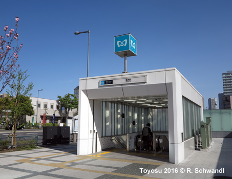
was opened. A 2.7-km, 4-station extension from the existing terminus Ariake
to Toyosu station on the Yurakucho line opened on March 27, 2006.
Fares are between 180 and 370 Yen depending on the distance travelled. 14.8 km, 16 stations (Official Site)(Wikipedia) |
||||
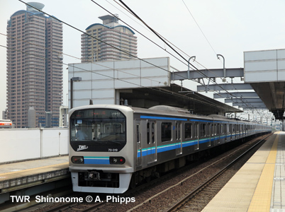
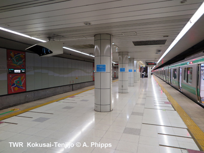
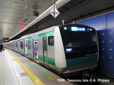
| RINKAI LINE (TWR) | ||||
|
Officially knowns as TOKYO WATERFRONT AREA RAPID TRANSIT, this 15.1 km long metro line starts at Shin-kiba where it connects to the Yurakucho line and JR East. It runs mostly underground across Tokyo's harbour area. The initial 7.8 km was extended on 31 March 2001 from Tokyo Teleport to Tenzohzu Isle, where transfer is possible to the Tokyo Monorail. On 1 Dec. 2002 it, the western section to Osaki with interchange to the JR Yamanote Ring Line was brought into service. Station names are from east to west: Shin-kiba, Shinonome, Kokusai-Tenjijo, Tokyo-Teleport, Tennozu Isle, Shinagawa Seaside, Oimachi and Osaki. Fares are between 180 and 280 Yen depending on the distance travelled. Link: Tokyo Waterfront Area Rapid Transit
|
||||
 |
||||
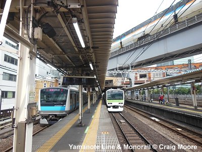
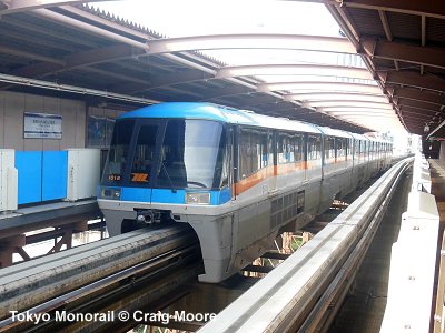
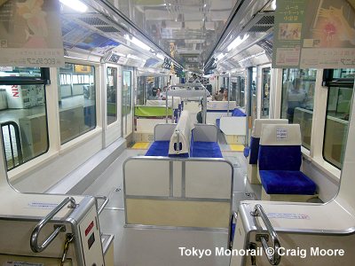
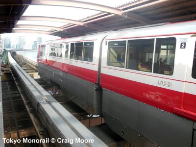
| TOKYO MONORAIL | ||||
|
This line
opened on 17 Sept 1964 for the opening of Olympic Games, and connects
the Haneda Airport to Hamamatsucho Rail Station. When it opened, it had
only two stations - Hamamatsucho and Haneda-koku. A year
later, an intermediate station at Oi-keibajo-mae (Oi Race Track)
was opened (27 May 1965). After that, several more intermediate stations
have been added - Seibijo (20 March 1967), Ryutsu Center
(15 Dec 1969), Showajima (7 Feb 1985) and Tennozu Isle (19
June 1992). On 27 Sept 1993 the line was extended from Seibijo to Haneda-kuko-daiichi-biru
(Haneda Airport Terminal 1) with two intermediate stations, while the
former Haneda-kuko station was closed. On 1 Dec 2004, a 0.9 km extension
of the line opened to serve Haneda-kuko-daini-biru (Haneda Airport
Terminal 2). After a new
station, Haneda Airport International Terminal opened on 21 Oct
2010 between Tenkubashi and Shin-Seibijo stations, the
17.8
km line has 11 stations. During day time trains go at 4-minute
intervals, with only every third train calling at all stations. The rest
of trains are skip stations between Ryutsu Center and Haneda-kuko-daiichi-biru
or run express serving only the airport terminals. |
||||
|
|
||||
|
Other Metro-like Rail Systems in Greater Tokyo |
||||
| ... | ||||
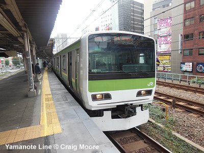
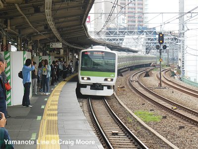
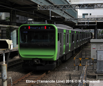
| JR Yamanote Line (JY) | ||||
|
34.5 km circular line, partly elevated, with 30 stations, part of the JR network. Connects with most private railways and several subway lines, with trains every 2.5 min during peak hours. First section opened in 1885 from Shinagawa to Akabane, later extended and electrified in 1909, ring completed in 1925. Takanawa Gateway station was added on 14 March 2020. |
||||
|
||||
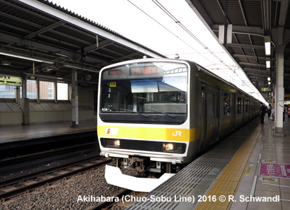
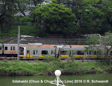
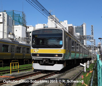
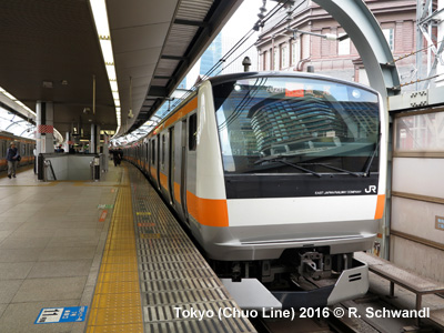
| JR Chuo-Sobu Line & Other JR Lines | ||||
|
The Chuo-Sobu Line is a 60 km east-west local JR line that intersects with the Yamanote Line at Akihabara. On the western leg, services are complemented by high-frequency Chuo Line trains which run express on the inner section, while on the eastern leg towards Chiba, the Sobu Line provides a parallel express service to/from Tokyo station (with trains continuing towards Yokohama as the Yokosuka Line). Besides these, also the Keihin-Tohoku Line (paralleling the eastern Yamanote Line) as well as the Keiyo Line, which runs from an underground terminus at Tokyo station along Tokyo Bay to Chiba, provide a frequent urban service, while the Musashino Line acts as a semicircular service through the northern suburbs. |
||||
|
||||
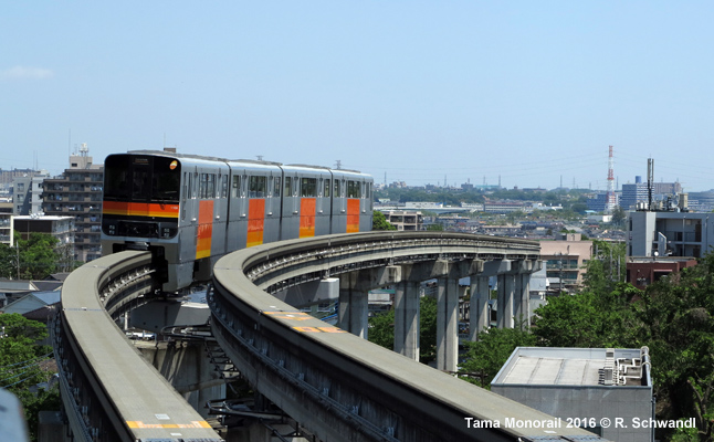
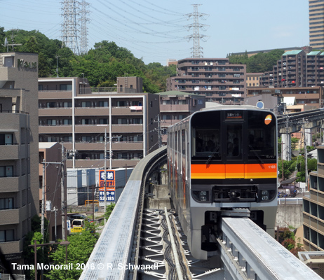
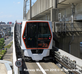
| Tama Monorail | ||||
|
16 km monorail system running north-south through the western Tokyo suburbs, linking up with several suburban railways which provides connections to and from Central Tokyo. Opened 27 Nov 1998 Kamikitadai - Tachikawa-Kita, extended south to Tama-Center 10 Oct 2000. Visit our Tama Monorail page (including map and photo gallery! |
||||
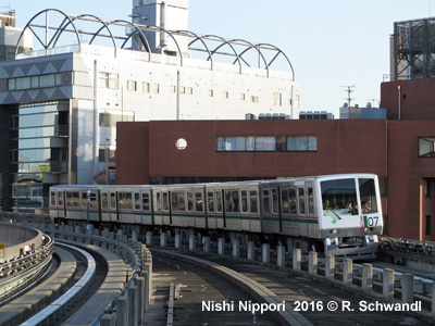
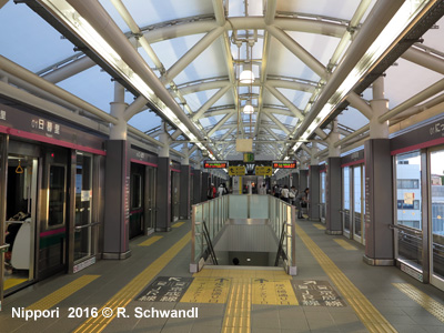
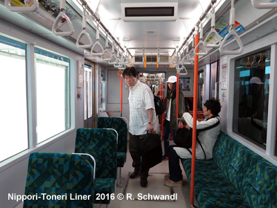
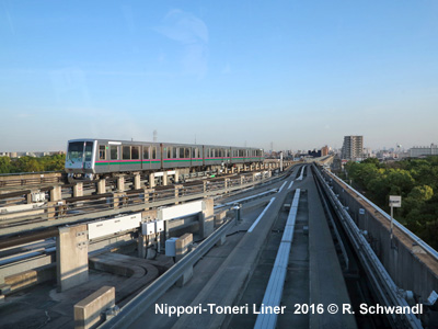
| Nippori-Toneri Liner | ||||
|
Opened
on 30 March 2008, this is an automatic guided transit system (9.7 km,
13 stations), operated by TOEI and serving the northeastern sector of
the Tokyo metropolitan area. It intersects with the Chiyoda Line at
Nishi-Nippori. |
||||
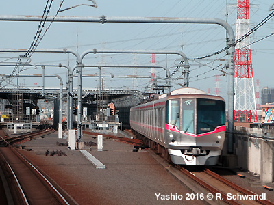
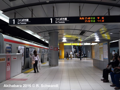
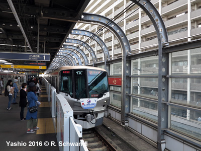
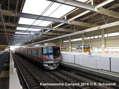
| Tsukuba Express | ||||
|
Opened on 24 Aug 2005, the Tsukuba Express is an independent 1067 mm urban/suburban rail line that links Akihabara in the Tokyo city centre with the science city Tsukuba in the northeast of the metropolitan area. The line is 58.3 km, of which some 16 km is underground, with 20 stations. |
||||
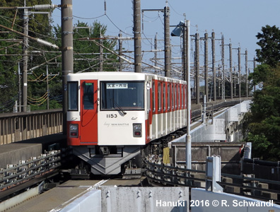
| Saitama New Shuttle | ||||
|
The New Shuttle, also known as Ina Line, is a manually driven guideway system, which runs alongside the Tohoku and Joetsu Shinkansen routes in Saitama Prefecture in the north of the Tokyo conurbation (12.7 km, 13 stations) - see map! 22-12-1983:
Omiya Hanuki |
||||
| Saitama Railway | ||||
|
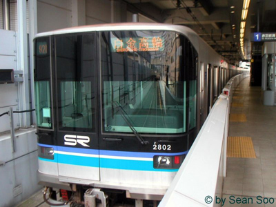
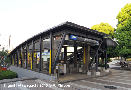
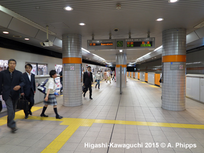
Opened on 28 March 2001, this line is actually a northern extension of the Tokyo Metro Namboku Line, running mostly underground outside Tokyo in Saitama Prefecture. It is 14.6 km long and has 8 colour-coded stations: Akabane-Iwabuchi - Kawaguchi Motogo - Minami Hatogaya - Hatogaya - Araijuku - Totsuka Angyo - Higashi-Kawaguchi - Urawa Misono. |
||||
 |
||||
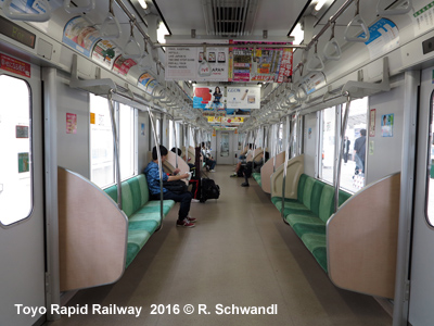
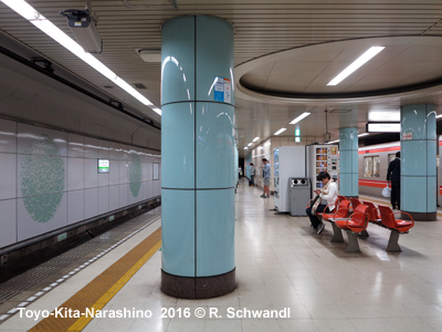
| Toyo Rapid Railway | ||||
|
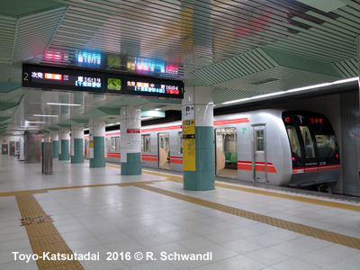
Opened on 27 April 1996, this line is actually an eastern extension of the Tokyo Metro Tozai Line, running partly underground outside Tokyo in Chiba Prefecture. It is 16.2 km long and has 9 stations: T23/TR01 Nishi-Funabashi - TR02 Higashi-Kaijin - TR03 Hasama - TR04 Kita-Narashino - TR05 Funabashi-Nichidaimae - TR06 Yachiyo-Midorigaoka -TR07 Yachiyo-Chuo - TR08 Murakami - TR09 Toyo-Katsutadai. |
||||
|
||||
|
|
||||
|
Other
Monorail Systems in the Greater Tokyo Metropolitan Area
|
||||
|
|
||||
|
TOKYO METRO CORPORATION (official page) TOEI Subway (Official Page) Tokyo Metro and TOEI Subway on Wikipedia, with details about all lines SAITAMA Railway (inauguration 28 March 2001) Tsukuba Express (suburban railway Akihabara - Tsukuba, 58.3 km, 2005) JR East (Commuter Railways) Railway Operators in Japan 4: Central Tokyo by Makoto Aoki (from Japan Railway & Transport Review) Tokyo Subway Map and Tokyo Area Rail Map at Johomaps.com Central Tokyo Rail & Subway Map by informa All About Japanese Trains (includes a section on Tokyo subway rolling stock) by Mike Nakada BLOG: Read your webmaster's impressions of the Tokyo urban rail system (April/May 2016) UrbanRail.Net > Tokyo Subway Gallery |
||||
| Book | ||||
|
METROS & TRAMS in JAPAN - Vol. 1: Tokyo Region Subways, suburban railways (JR East and Private Railways), trams, monorail and guided-transit systems in the Toyko conurbation - including Yokohama, Shonan, Tama, Saitama and Chiba
Text: German & English |
||||
|
Reciprocal
Operation (JR trains and Private Railways on Subway Lines)
|
||||
|
|
||||
Tokyo Metro Lines | TOEI Lines | Tokyo Waterfront transit | Other Rapid Transit in Tokyo | Tokyo Subway Gallery | Links
 CHIBA
Monorail
CHIBA
Monorail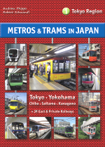
